Project Groundwater’s Innovation Fund Projects have won the Community Action Award at the Flood & Coast Excellence Awards 2026 — a recognition of the positive impact these community-led projects are making.
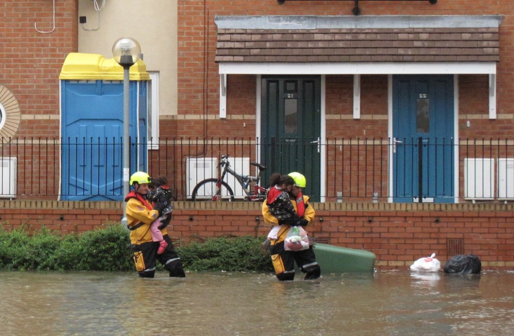
The four wining community groups includes South Oxford Flood Action Group which OFA helped to set up. SOFLAG has used its innovation funding to establish a local network of boreholes, gauge boards and surface water sensors which feed data to the organisation’s website. This provides local residents with live data on potential groundwater flooding when river levels are high. The project also involves outreach to the local community to raise awareness of groundwater flooding.
Flood & Coast is an annual conference organised by the Chartered Institution of Water and Environmental Management (CIWEM) that celebrates progress and innovation in Flood and Coastal Erosion Risk Management (FCREM).
The other groups supported by Project Groundwater are in Luton, Chesham, and Chalfont St Peter. Each has used the Innovation Fund to develop creative, practical ways to boost community resilience to groundwater flooding – strengthening preparedness, improving understanding, and empowering residents to take action.